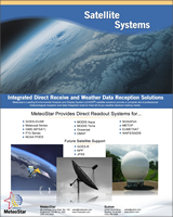
Integrated Direct Recieve & Weather Data Reception Solutions
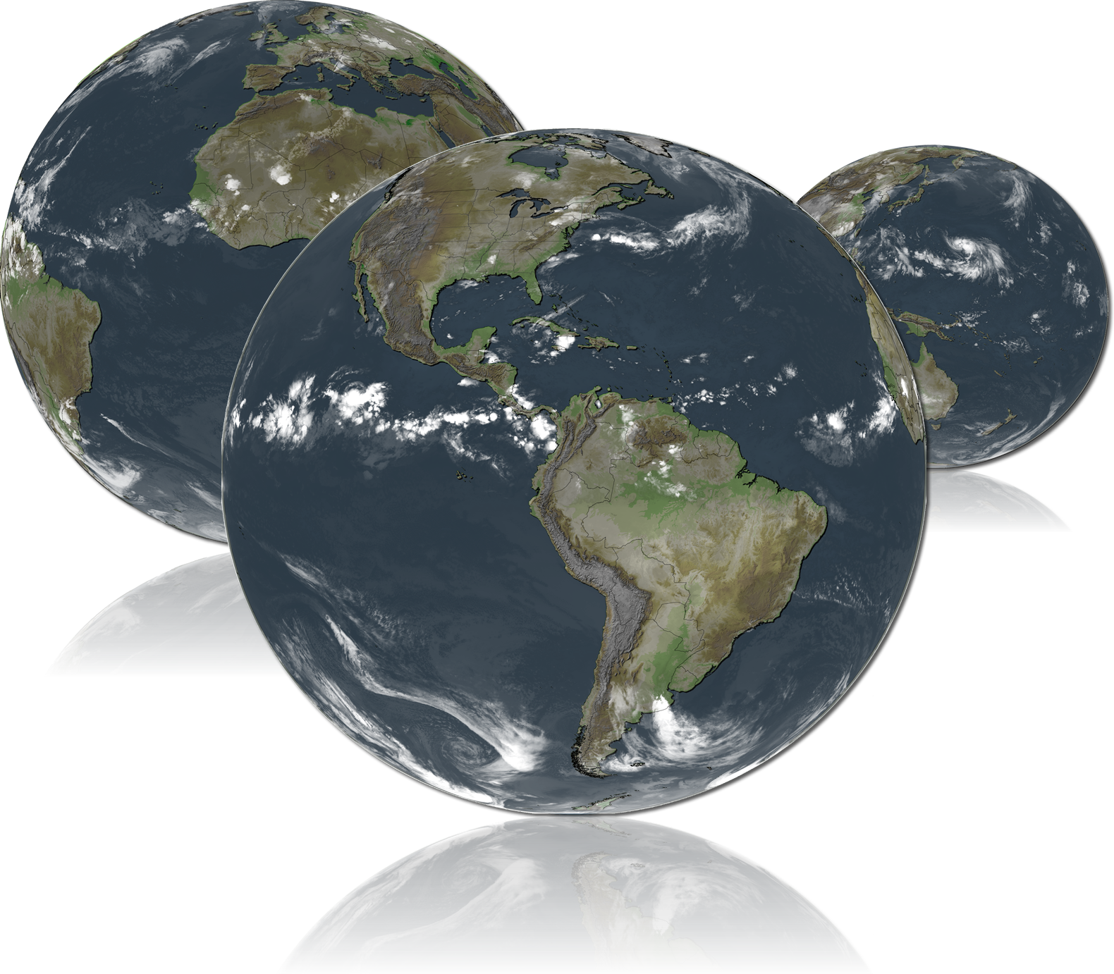 High resolution satellite imagery provides a valuable data source for weather visualization and aviation weather forecasting.
The high resolution satellite imagery is supported by several international satellites. These satellites consist of constellations
of geostationary and low earth orbiting satellites. Combined with a comprehensive set of LEADS®-Magellan image
processing tools, weather guidance and forecast products can be generated and distributed to users for a variety of
applications ranging from general weather, aviation, air traffic control and pilot briefings.
High resolution satellite imagery provides a valuable data source for weather visualization and aviation weather forecasting.
The high resolution satellite imagery is supported by several international satellites. These satellites consist of constellations
of geostationary and low earth orbiting satellites. Combined with a comprehensive set of LEADS®-Magellan image
processing tools, weather guidance and forecast products can be generated and distributed to users for a variety of
applications ranging from general weather, aviation, air traffic control and pilot briefings.
The MeteoStar Magellan Systems provide a complete solution consisting of the satellite receivers and ingest systems to receive and display the satellite imagery and sounding products. The LEADS® Weather Workstations and Servers can ingest other meteorological data sources, such as weather radar or surface GTS and fuse (overlay and mosaic) this information with the satellite imagery.
| MeteoStar Provides Direct Readout Systems For... | Future System Support... | ||
|---|---|---|---|